Software solutions
ALSIC has a broad experience with software solutions in specific vertical markets:
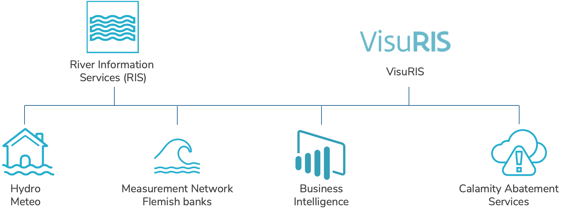
Waterinfo bundles all measurements, predictions and maps of Flemish watercourses, which are collected by the VMM, HIC, VNF, aKust, DVW, etc.
Via Waterinfo, citizens and emergency services can find all current information about flood risk, tides, precipitation and drought. Additional information concerning the situation, is communicated via Waterinfo messages.
This is an instrument that helps the government with f.e. building permits, assessing its impact on the water system.
There also is an updated flood risk check tool, called “watertoets” on the website, allowing people and government to check for possible flood risk, for a plot of land or house. The webportal was completely re-designed in 2020.
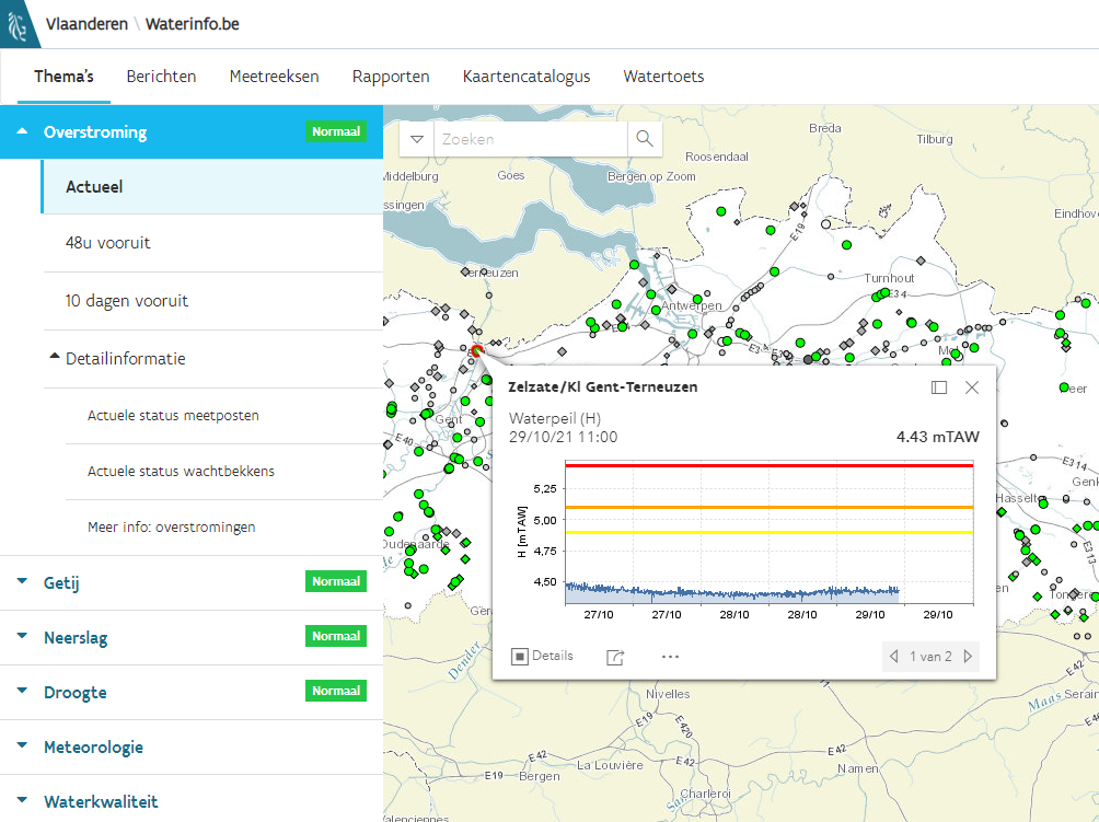
vts-scheldt.net
This contains imported hydro meteo related information distributed by the Hymedis system of “Schelderadarketen”. This site also has additional information in the form of SSB messages.
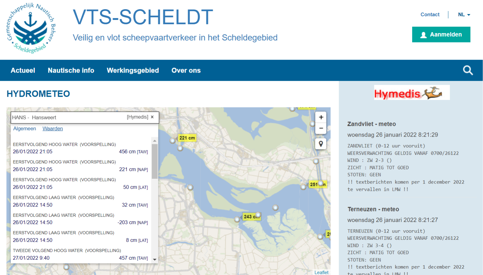
River Information Services (RIS) is a set of information technology (IT) services, to optimize traffic and transport processes in inland navigation, by providing a swift electronic, in-advance and real-time information transfer between water and shore.
RIS streamlines the information exchange between waterway operators and users. Since 2005, an EU framework directive provides minimum requirements to guarantee cross-border compatibility of national systems.
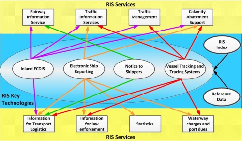
River Information Services are based on four RIS Key Technologies:
- Notice to Skippers
- Inland AIS
- Inland ECDIS
- Electronic Ship Reporting
The relation between the RIS Services and RIS Key Technologies is shown in the figure below.
ALSIC is involved in different expert groups as Notice to Skippers, Electronic Ship Reporting, Inland AIS and Inland ECDIS. They take the lead in defining technical specifications for the European Standard for RIS Key Technologies.
ALSIC has done different studies, consultancy assignments and implementations for River Information Services and RIS Key Technologies:
- Study for the Implementation of RIS, based on the existing systems and their functionalities, for the Westerscheldt River (RIS GNB) for the Scheldt Radar Network (SRN) – BET organization.
- Extending the website www.vts-scheldt.net of the Westerscheldt River (RIS GNB) for the Scheldt Radar Network (SRN) to a RIS – FIS Portal.
- Development of an AIS-XML converter for the Scheldt Radar Network (SRN). This allows the different systems of the Scheldt Radar Network (SRN) to communicate with the Inland AIS network via an Enterprise Service Bus (ESB) in a XML format without knowing the details of typical protocols like NMEA or the ins and outs of the Inland AIS network.
- Realization of Notice to Skippers based on the EU standard 416/2007 for the Scheldt Radar Network (SRN – RIS GNB). The realization contained a study to define how the existing messages like BASS (Messages for the Scheldt Traffic) and SSB (Scheldt Traffic Message) can be automatically converted in to Notice to Skippers messages. The implementation of NtS messages was done through the RIS-FIS Portal of RIS GNB (SRN).
- Realization of Notice to Skippers based on the EU standard 416/2007 for the Flemish waterway authorities “nv De Scheepvaart” and “Waterwegen en Zeekanaal NV”. The realization contained a study to define how Notice to Skippers can be integrated in the existing organizations and their methods of distributing information to the skippers. The study was followed by the implementation through a web application, http://nts.flaris.be, running on a cluster solution which is geographically separated.
- Realization of a Calamity Abatement Support system, C@LRIS, based on the four RIS Key Technologies for the Flemish waterway authorities “Waterwegen en Zeekanaal NV” and “nv De Scheepvaart”. The realization contained a study to define the Vision Statement, gather information of the Primary and Secondary Stakeholder, integration of electronic emergency plans, …. The study was followed by the implementation through a web application, running on a cluster solution which is geographically separated.
- The existing AIS Maritime network of the Scheldt Radar Network (SRN – RIS GNB) was extended to an Inland AIS network based on the EU standard 415/2007. The information of the Inland AIS network can be integrated in the different applications of RIS GNB via the Enterprise Service Bus (ESB) and the AIS-XML converter.
- Adaption of the VisuRIS portal for RIS COMEX. The VisuRIS portal will be used by 13 COMEX Partners (countries) to make River Information Services available in a unified European portal.
- Realisation of the VisuRIS solution which combines all aspects of the four RIS key technologies (Electronic reporting, AIS, Inland ECDIS charts and Notices to Skippers) together in one unified solution and acts as the presentation layer.
- Study for the realisation of a visualisation- and query tool River Information Services for the Flemish Waterway authorities. This study resulted in the definition of the VisuRIS system.
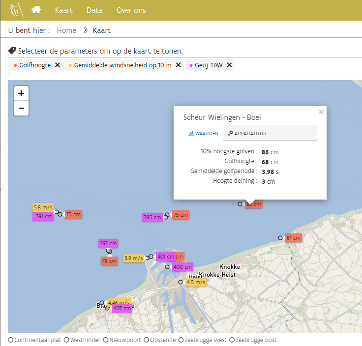 The Flemish government, department coast, collects hydrographic and meteorologic data via a network of measuring points in front of the Belgian coastline.
Within this project ALSIC is responsible for the management and correction of data as well as the maintenance and new development of:
- Website www.meetnetvlaamsebanken en www.safekiting.be
- Storm flood warning
- Webservices such as api.meetnetvlaamsebanken.be
- Dotnet applications and (micro)services
- Message Brokers
- Databases
- Netwerk infrastructure
- Virtualisation servers
- Storage
- Back-up
- Antivirus
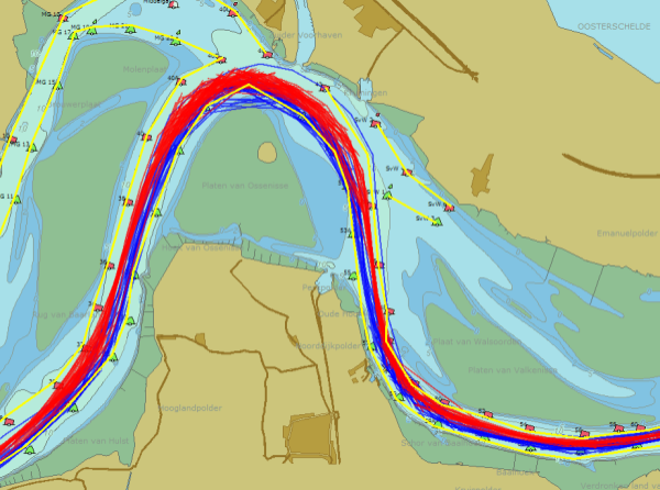 ALSIC has developed different business intelligence solutions dealing with specific and large datasets.
We provide a Business Intelligence solution for The Scheldt Radar Chain. The Scheldt Radar Chain (SRC) consists of traffic centers and operators supervised by the Common Nautical Authority (CNA), which ensures the safety and guidance for maritime traffic between the North Sea and Antwerp.
The CNA is a co-operation between the governments of Flanders and Netherlands. The Business Intelligence solution keeps tracks of all voyages (IVS) and sailed tracks (AIS). Data from four different data sources are merged and stored in a central Datawarehouse and multidimensional databases (cubes). Reports are made using PowerBI, reporting services and QGis.
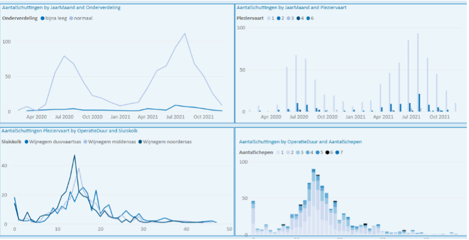
Another BI solution was developed for the Flemish Waterway Authority (De Vlaamse Waterweg nv).
This solution keeps track of all inland waterway voyages, cargo and tracks. It is used for many different purposes.
The data warehouse also includes information from an Object scheduling system which gives detailed insight in the operations of lock and bridges as well as waiting times.
Supply chain management (SCM) is the management of a network of interconnected businesses involved in the ultimate provision of product and service packages required by end customers.
Supply chain management spans all movement and storage of raw materials, work-in-process inventory, and finished goods from point of origin to point of consumption.
ALSIC has developed key solutions for:
- Building a product catalog including bill of materials (BOM) components
- Production scheduling and forecasting for each manufacturing unit
- Registration of daily production
- Flow of unfinished and finished production parts
- Stock management
- Traceability
- Advanced reporting and business intelligence
Some examples:
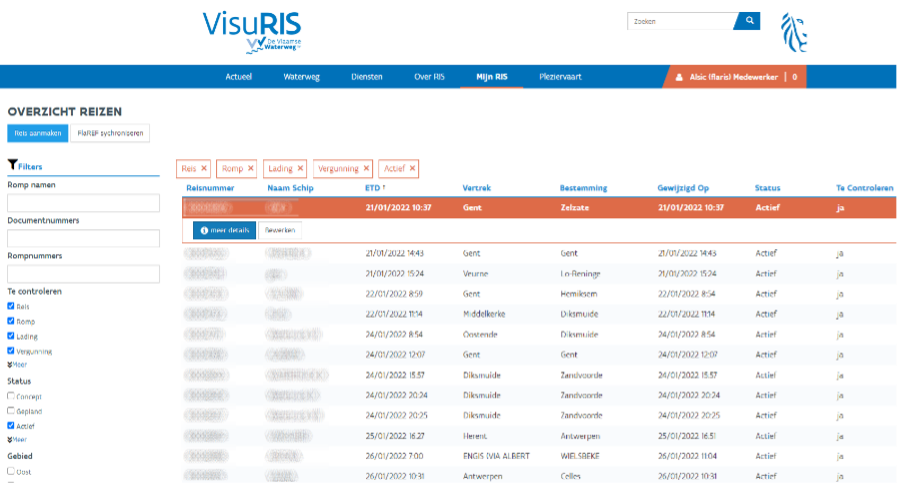
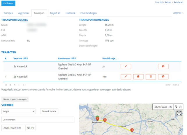
- Automatic processing of electronic reported voyages of inland vessels, by using an own developed route calculation module, lock planning software, waterway due calculation, interfacing with financial services, and many more…
- Tracking and tracing solution for tracking goods inside production plats using a mobile device with barcodes.
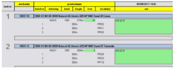
- Planning and production follow-up tool LOVOD for textile printing industry as a component for a custom ERP solution. Interface was done using a touch screen application.
- MECAT: generic management of product information and bill of materials with a flexible datamodel.
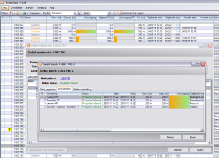
- Shopfloor: part of a custom ERP solution for monitoring manufactory activities and tracing of produced groups.
- LOVOG: part of a custom ERP. Follow up stock and locations. Workorder planning and tracing of carriers.
The goal of VisuRIS is to provide operational information and geographical presentation at several types of users:
- Operational information: this consists of tactic and strategic traffic information (TTI/STI), water levels, calamity, infrastructure and waterway related information, Notices to Skippers, …
- One solution combines information from different data sources and applications in a unified and user-friendly view.
- Mapping: large recognizable map centered views based on satellite images, road (OpenStreetMap) or fairway (Inland ECDIS) layers are available.
- Users: VisuRIS is usable by many types of users such as lock operators, emergency services, skippers, logistic partners, waterway authorities, RIS operators, …
VisuRIS combines all aspects of the four RIS key technologies (Electronic reporting, AIS, Inland ECDIS charts and Notices to Skippers) together in one unified solution and acts as the presentation layer.
VisuRIS is not one application but a set of products suited to different scenario’s and user groups:
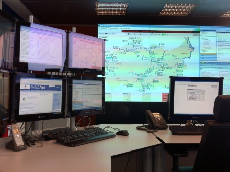
VisuRIS is primarily used in the RIS centers (on wide large screens or projector) to get a complete overview of the current situation of the waterways and related traffic. It has very detailed functionality and almost all information can be consulted here. RIS operators can also define new guardian zones to be informed when certain vessels pass an area.
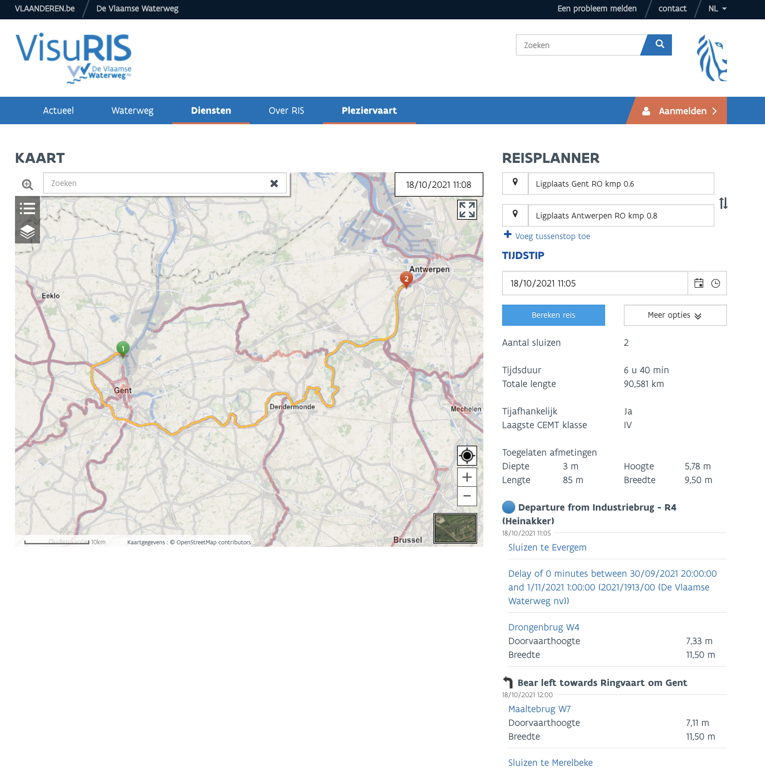
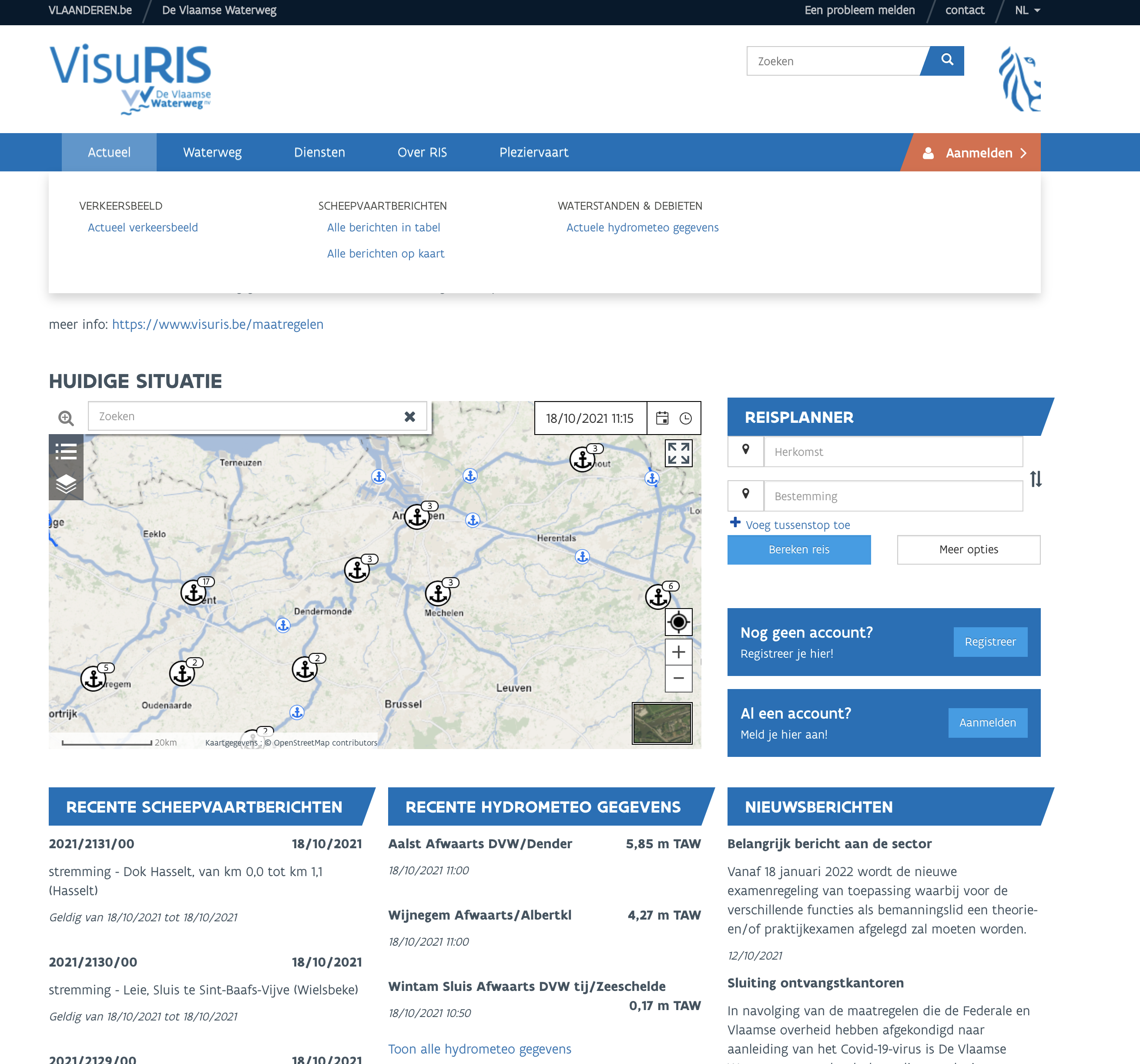
The VisuRIS Portal is the primary information platform for external users, such as skippers and logistic partners. It provides all relevant fairway information services and a route and voyage planner. The user can also use this Portal to register vessels and follow their progress. You can visit the website www.visuris.be.
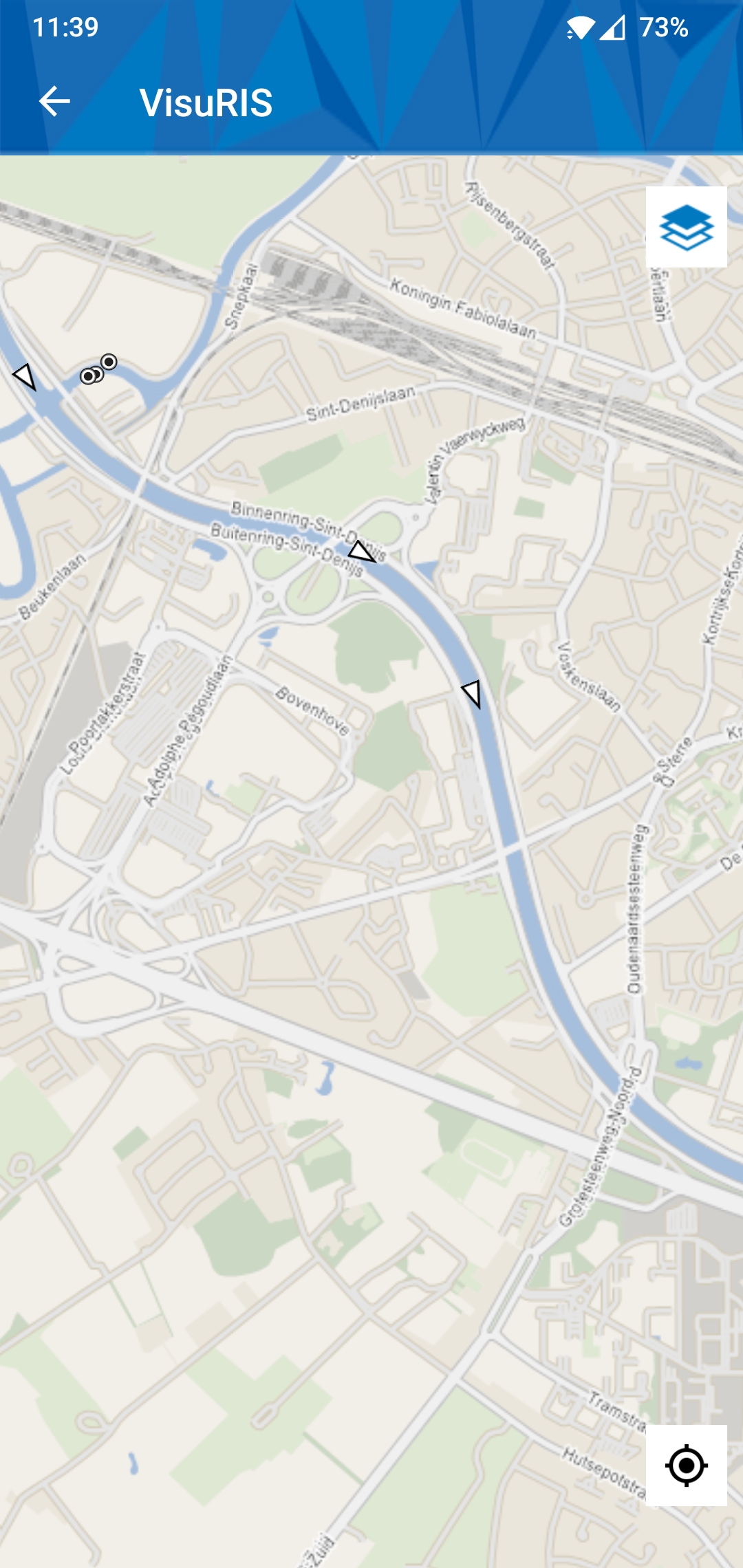
The VisuRIS App can be used on the field by skippers and employees of the waterway authorities to consult Notices to Skippers and to get an overview of the traffic. The app has the ability to report or consult about a problem with the waterway infrastructure. Together with provided pictures and the geographical position of the mobile device, the problem can be quickly located.
 C@LRIS is a Calamity Abatement Support web application created for the Flemish waterway authorities, implemented by following the River Information Services guidelines.
The Flemish waterway authorities provide a single window to end-users through a redundant RIS-centre environment (i.e. Hasselt and Evergem), available 24/7/365. As all information is available in this environment, it acts as a single point of contact in case of incident/ calamity.
One of both centers can be contacted through a general toll-free number. When a RIS-operator is contacted, the call is registered by the calamity abatement information and support system, called C@LRIS (in case of a CALamity, CALL RIS for support).
Basic components of C@LRIS:
- Secured web application
- Register incoming phone calls
- Escalate registrations to calamities
- Consult electronic emergency plans
- Consult external resources
- Communicate with people in the field
 Important features of the C@LRIS web application:
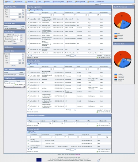
- C@LRIS portal giving immediate access to a quick overview of the latest registrations, calamities, communications, personal task list and more allowing customizable state and date filtering and page refresh settings (Figure 9).
- The incoming calls registration page automatically opens when the operator is logged on and someone calls the RIS centre. All communications are automatically logged and can be viewed in the communications overview.
- The registration of waterway events with different types and states with customizable fields.
- Escalate registrations to calamities and undertake appropriate actions guided by customizable electronic emergency plans.
- Create and organize electronic emergency plans using contact roles and adding tasks for every possible event and area.
- Organize contacts and assign them to predefined roles.
- Run customizable alert procedures to automatically inform public emergency services by an automated telephone call, e-mail, sms, fax or personal call when calamities occur.
C@LRIS exchanges information with various systems. For some parts in this system architecture the concepts of Service Oriented Architecture are applied. This means that some of the information exchange is based on services and the exchange of messages. The information exchange contains the following components:
 EPABX: A telephone switch using VOIP technology. Telephone support is a core service within C@LRIS. The EPABX also supports sending faxes.
- Sms modem: The sms modem supports sending and receiving sms messages for the C@LRIS web application and the guard, alert and registration system (GARS).
- E-mail server: The e-mail server takes care of sending and receiving e-mails.
- FTP site: An FTP site supports the publication of archived files.
- CAS External: Various messages can be exchanged with external RIS systems, e.g. NOT Emergency and NtS messages.
- CAS Internal: C@LRIS can be hosted at different sites within a country or region and synchronizes at database level between these sites using MS SQL Server Replication.
- AIS: Publish messages to the AIS network, which supports sending messages directly to vessels in the field.
- Web services: Connection with various web services is possible, e.g. hydro meteo web services providing accurate water level information.
